Fort Stevens State Park is at the farthest northwest point of land in Oregon and is bordered on the west by the ocean and the north by the Columbia River. I has an old fort you can tour and a lot of woods and bike trails.
This state park is along the ocean, but the campground is tucked among the big trees. It has over 500 campsites, most with at least electric and water and some even with full hookups, but sites are spread out over a very large area, so it does not feel cramped. There is also a lot of privacy with big trees and all the undergrowth.
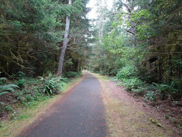
Lots of big trees. The campground is about a quarter mile via road or bike trail from the ocean, so the trees here are big. The ones near the beach are smaller.
This is a map of the entire state park. The ocean is to the left and the Columbia River to the top.
And some photos of the bike trails. Lots of ferns and moss hanging from trees.This is definitely a rainy place.
Look at all the moss on the trees!
Trees are smaller here because this is closer to the beach.
There are tunnels going under the road and even a couple of bridges going over creeks.
I am in the north campground, but the south campground has a yurt village.
I also made it to a small lake near the south campground, but by this point, I was freezing, so I headed back to my campsite and warm motorhome!

I'm going to try for a longer ride tomorrow a little earlier in the day and dressed more warmly. Daytime highs have been only around 62, and it was even cooler later in the day, so I should have started earlier. I ended up riding for almost five miles, however. Brrrr.


No comments:
Post a Comment