Wednesday, September 25, 2019

9/23 Beebe Bridge Park, Chelan, WA

This is a very pleasant campground along the Columbia River in northern Washington state.  It is provided by the Chelan County Public Utility District.  Similarly to the U.S. Corps of Engineering, whenever a dam is built, the utility district in Washington provides and runs a campground to benefit the public.  

The cost per night is usually $30, but the utility district reduces the price to $15 for seniors from Labor Day to the Memorial Day weekend.  And since this place is so nice and located in a very scenic place, it can get packed, even in the off-season.  It is first-come, first-served, but some of the campers said it would be moving to a reservation system, which makes a lot of sense to me because most people who camp don't want to drive a long distance without knowing whether they will have a spot or not.


I ended up along the highway instead of one of the more scenic spots along the river, but I could get a good satellite signal here, even though there was a lot of highway noise.  

You can tell from the next few photos that the roadways and entire campground are in very good condition and well taken care of.  Well maintained roadways and landscaping make it a lot easier to keep a cleaner RV, inside and out.  


 This is a fancier than usual "iron ranger."  You select an empty site and park your rig on it.  Then, you come back here and insert either cash or a credit card for the number of days you choose to stay.  It spits out a long receipt where you enter your site number and information about you and your rig, such as address and license plate number.  You tear it in half, put half in the slot provided and put the other part on your dashboard.

This is the big boat parking area and boat launch.  

And you can see Beebe Bridge in the distance. 

Beebe Bridge looks rusty because it IS rusty!  Having driven over it a couple of times, I can tell you that the rust is natural, not the result of paint.  Basically, it needs some work.

It was windy, so standing on the boat launch platform was a little scary.  

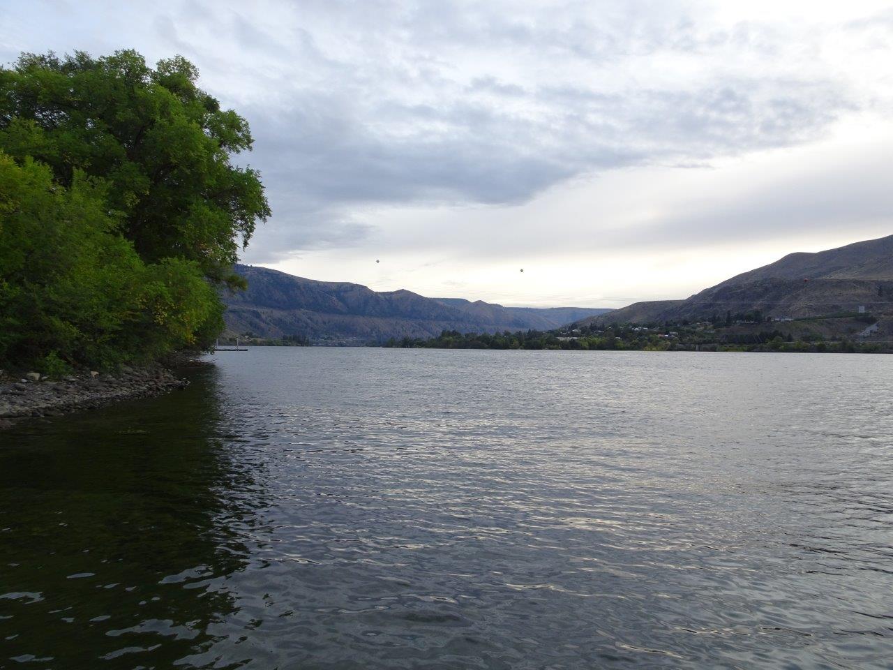
Cloudy today, but a nice view down the river.  


Friday, September 20, 2019

9/20 Boat Tour of Lake Chelan

Lake Chelan is next to the small town of Chelan in north central Washington.

Lake Chelan is a little strange.  First, it was originally a natural lake, about 350' above the elevation of the nearby upper reaches of the Columbia River.  As you drive to the town of Chelan and up to the lake, the road is very steep, which seems strange because you are driving "up" to a lake.  The depth of the lake varies, but much of it is 1,000' to 1,500' deep. The lake was originally formed by glacial melt, which explains its depth and height.  It is connected to the Columbia River by a series of falls.

In 1927, they built a dam to raise the level another 20'.  This stabilized the lake level, but what you have is a natural lake that is dammed.  This is very unusual because most lakes formed by dams started out as small streams in a canyon or valley.  

It is also strange because of the mountains that surround it and the fact that it is 50 miles long and 2-4 miles wide, so it is more of a very wide river than a lake.  Also, only the first third of the lake is accessible by road.  The last two-thirds does have an occasional cabin, but the only way to get to them is by boat or seaplane.  And yet, at the end of the lake is a small town, Stehekin, with about 75 year-round residents.  There are many cabins and houses for rent there, but you have to bring most of your own food.  There is a ranch, a bakery, and a lodge that serves meals, but many of the people traveling on the boat brought big coolers with them.  Rental homes have electricity and water, for the most part.  And some even come with cars parked at the dock so you can get to your rental!   

This is the dock for the two boats heading to the end of the lake: one is slower and makes more stops, and the other is an "express" that makes the trip in 2.5 hours.  I took the express.


The town of Chelan is on both sides of this end of the lake. 


As you move up the lake, you see a lot of homes with fantastic views, but these are all accessible by roads.

I really like the one partway up the hill.  

The ground is very rocky here in this part of the Cascades.  There are not too many flat spots suitable for building a home. 

We made a stop at Field's Point to drop off people and freight and to pick up passengers.  This is a dump station for boats so they don't dump sewage and waste into the lake.  


Some of these mountains seem to be entirely burned.

Houses are getting fewer and fewer, but these two were gorgeous. 

As you go up the lake, the mountains get bigger and the road disappears, along with most of the homes. 

A lot of these mountains show evidence of old or recent forest fires. 

This green area must have been burned several years ago because it is beginning to regrow.


This looked like fire in the distance.


This huge burned area from last year must have been pretty impressive while it was on fire.

Just a rocky canyon.  There were a lot of hikers on our boat who had been hiking for several days. 

There are some small patches of snow in the far mountain on the left.


We are approaching Stehekin at the end of the lake.  

There were buses to shuttle people to the bakery, a ranch, and several rental houses.   

Somehow, I completely missed taking photos of the bakery.  Food was very good, however, so I bought an extra sandwich to heat and a pastry to tonight's dinner.  We are headed back to the town of Chelan. 

Burned areas. 


This is one of the houses accessible only by boat or seaplane.  Note the solar panels.

I asked how people got groceries, other than bringing their own.  I was told there was a small vegetable farm and once a week, a truck brought grocery orders.  So, here is that truck along with several others.  Wonder if someone is moving???


It was a beautiful day with lots of sun.  High was about 70, but it was cool on the lake. 

And back to the town of Chelan!!


9/17 Drive from Oregon to Northcentral Washington

I have not posted in the last couple of weeks for several reasons.  First, I had to drive from Napa, CA, all the way to Eugene, OR, where I had a couple of doctor's appointments. Second, in Eugene, I also rented a car for a couple of days and ran some errands and stocked up on groceries.  That kept me busy.  And third, I had to turn in grades for my summer online class and get the fall class ready for opening the syllabus on September 11.  (Would you believe I have to open the syllabus one day before I turn in grades??)

Once I opened the syllabus, students started sending me emails with questions about the textbooks and exams in this class.  And because I have moved some things around to balance the class, I have also been very busy making my online class match the syllabus.  I am still only about halfway done with that, but at least I am good for the first four weeks!  And Week 1 begins on next Monday, so will really be getting busy then.  

Anyway, I am now in a place called Beebee Bridge RV Park and will write about it later this week.  It is a nice, quiet place with good satellite and excellent Verizon access, which is how I get my internet access.  So for the past few days here and in Prineville last weekend, I have been a hermit, barely going outside at all.  The good news is that tomorrow I take an all-day boat ride on Lake Chelan.  I am looking forward to it, even it means getting up at 7:00 am tomorrow morning!  (I am NOT a morning person, so this is a real challenge.) 

Anyway, I'm going to combine what was really two short days of driving from Prineville Reservoir (sorry no photos) to the Lake Chelan area of northcentral Washington state.  There were several campground recommended to me a couple of years ago, and I finally had some free time to visit them.  

The drive was interesting in a lot of ways, but boring in some others.  This area is really plains, but it is a very hilly plains area.  It is mostly dry because we are east of the rain-catching Cascade Mountains, but my drive took me onto the edge and slightly into the Cascades at a couple of points, so there was forest, as well as grassy plains.  

Mostly, this is dry grasslands and wheat farms.  


We are headed downhill to cross the Columbia River near Maryhill.  

No photos crossing the Columbia, as I was busy driving, however, the north side of the river looks a lot like the south side of the river, except there are more wind farms! 

Even though this area is normally dry, you can see that it has been raining a lot in the past week or so, and is obviously continuing to rain up ahead.  This is very good for both Oregon and Washington, as it means the fire season is over with.  

At times, the road headed west and into the edge of the Cascades.  All along my drive, there was very little traffic and very good roads, so not a bad drive at all, although it was pretty curvy. 


Finally, the Columbia River again!  


What happens is that while the main part of the navigable river heads east upstream from the Pacific Ocean, dividing the two states, when it reaches a point to the far east near Kennewick in Washington, it cuts sharply north to its birthplace in Canada. 
  • The green arrow shows where I crossed into Washington. 
  • The blue arrow shows Beebee Bridge Park
  • And, the orange arrow shows Lake Chelan.

I'll post on the boat trip tomorrow night.