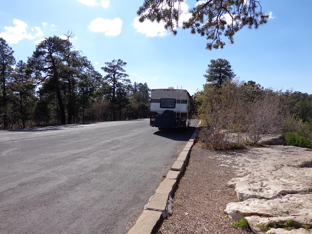
An interesting thing is elevation: Page is about 4,000 feet, but then the road south drops substantially. As you get close to Grand Canyon, you end up climbing to almost 7,000 feet. It is a very pleasant drive from desert scrub to high desert. High desert means there is still not much rainfall, but the temperatures are cool with substantial snow in winter. This produces a forest consisting mostly of pinon pine and juniper, with Gambel oak. (The north rim is even higher and characterized by ponderosa pine.)
I had planned to drive straight to my campground, but could not resist stopping to take a few pictures. Nice to have a big pull-off all to yourself!

This was taken from another, larger scenic area, with a large but completely packed parking lot. Barely managed to get in and out because other vehicles were parked in the RV and bus areas. Great view, however, was worth it.
There are two large campgrounds within the national park at the South Rim. One is Mather, which is huge and very woodsy with sites very nicely spread out. The only problem with Mather is they will not allow RVs longer than 30', which eliminates my 32' vehicle. Second, there are no hookups and the shower facilities are a long, long way from most campsites.
A better choice, although not quite as scenic, is Trailer Village. Half of this large facility is taken up with trailers owned by permanent residents. (In fact, there is a school bus stop at the entrance.) About three years ago, they paved the roads and the campsites in the area that is reserved for visitors. This cleared up a lot of the dust and dirt. Sites had always had full hookups, but they apparently replaced those when the paving was done, so the campground is much nicer than it originally was when I was here 4 years ago.
I had asked for a site near the shuttle buses, and indeed, they gave me Site #1, which was the same one I had before and a very short walk to the buses that take you almost anywhere in the national park.
The main visitor center is located about a mile east of the campground. Besides the visitor center, there is a bookstore, gift ship, bike rental shop, cafe, and restrooms. This is a major shuttle transfer station, hooking up the Village Blue Route and the East Orange Route, which takes you to Desert View and the Watchtower and museum in that area.
The Orange shuttle route also takes you west to Yavapai Point and the Geology Museum.
More views. I know I take too many photos, but it is really hard to resist. This is Bright Angel Canyon. The North Rim Visitor Center is about halfway down this canyon, on the west or left side, but you can't see it in this photo.
In this photo, you can see a tiny bit of the Colorado River. Bright Angel Trail goes along the plateau on the lower left and then down the path that can be identified by the trees and greenery. It reaches the river and then goes over a bridge, which is just barely visible to the left if you really squint!
The river is a little easier to see here.

I have no idea what this hole is, but it looks man-made.
More tomorrow!


No comments:
Post a Comment