Saturday, September 9, 2017

9/8 Smoke, Smoke, and Maybe a Little Less Smoke!

I am now in southern Oregon for a few days on my way to the Oregon Coast for a few weeks.  The news in the last few days have focused on hurricanes, but the Northwest has been having a serious fire season.  A wet winter apparently allowed a lot of grass and undergrowth, which then died in the hot summer, producing a lot of dry tinder which has been igniting all over British Columbia, Washington, Oregon, Northern California, Idaho, and even parts of Montana.  

I noticed the smoke way back when I stayed at The Cove Palisades State Park in early August, but it has gotten a lot worse in the last week.  Portland is doing much better, but last week was miserable for most residents.  The worst was when a teenager threw a smoke bomb off a trail down a cliff, causing a fire in Eagle Creek near where it it empties into the Columbia River Gorge, setting off a huge fire that jumped this very wide river and lit both sides.  The interstate highway, I-84, was closed for several days. Not sure if it is open yet, but here is a news article and photos of the fire:  http://www.oregonlive.com/wildfires/index.ssf/2017/09/eagle_creek_fire_rages_in_colu.html

Here is a map of Oregon showing fires.  The orange symbols are recent fires that are mostly extinguished, the red icons are current fires, and the green icons are newly ignited fires.  The white arrow shows where I currently am camping. 

I noticed the smoke from fires way back in early August, you may notice from my postings from near Bend. The smoke was evident even in Napa, California, where I just spent over two weeks with family.  

It was a pretty drive yesterday from Red Bluff.  I came very close to cancelling my reservations for the next month in Oregon because many places had hazardous air quality index scores.  Luckily, Wednesday night there was some rain in Red Bluff and a lot of places in Oregon, which helped the smoke and those fighting the fires. 

So, how can you tell rain clouds from smoke?  The smoke tends to lay low in valleys and across mountains and smoke also tends to be very spread out and end up being an overall haze.  The clouds are puffy and higher.   


Everything looks like you used a clouded lens to take photos.


The next two photos look very similar, but in the first one you can barely see a mountain in the distance.  This one was taken yesterday, Thursday, right after I arrived at Emigrant Lake.

In this next photo, taken today, Friday, September 8, you can not only see the mountain on the right but another mountain in the middle that is even farther away.  This may not seem like a big difference, but the sun was out most of the day and the lake looks bluer.  This area also had had rain the previous night and air quality went from "Hazardous" down to "Unhealthy for Sensitive Groups."  That is a drop from 400 to 150 here in a little over 24 hours.  


Here is a link to a chart showing air quality index colors and explanations:  https://airnow.gov/index.cfm?action=aqibasics.aqi 

 This is a very pretty county recreation area campground.  The lake is low, as you can see from the very long and very dry boat ramp in the background!  But I don't swim or boat anyway, so I don't really care.  This part of the campground is relatively new and has all full-hookup sites on two levels.  Had I known, I would have chosen a site from the top level with a better view. 
 Pretty view on all sides of this place. 
 

This direction is a little more smoky so the view is not as good. 


Saturday, September 2, 2017

9/2 - Heat, Heat, and More Heat!

I am visiting family in Napa, California, so not much to post about, but I do have to comment on this summer's weather.  Some of you may have heard about the heat in the west this summer.  Yes, it is usually very hot in the southwest, but this heat has been much broader than that--actually covering the entire western part of the country.  

After experiencing 98 degree temps in the south rim of the Grand Canyon in late June when it is normally only in the low 80s, I knew I was in trouble.  Grand Canyon Village is at 6,800', which keeps it relatively cool.  Looking at weather forecasts, I rearranged some of the reservations and decided to head to supposedly cooler Colorado.  In fact, I had to head to Frisco at 9,300' to get daytime temps in the 70s.  Elk RIdge near Ouray was in 80s at 7,300'.

So, why the concern about heat?  The thing is that almost no RV air conditioning performs well in hot conditions.  Ditto for refrigerators and freezers.  For example, I have been keeping my AC on today since very early morning.  It is set on high fan as well.  Outside temps are now 104 degrees at 1:00 pm, but my AC is struggling to keep inside temps at 84 degrees.  I want it to be more like 75 inside, but that is not likely to happen until about 9:00 pm this evening.  

In addition, my freezer is also struggling.  RV refrigerators and freezers work on propane and switch to electric when plugged in.  They are "adsorption" devices and work differently from your home refrigerator.  (They also cost about twice as much, even for a very small one!)  That side of the motorhome is not facing the sun in this location, but even so, ice cream is likely to get soft, so I have only opened it once today.

The cause?  Well, the first is that these homes on wheels have very little wall and ceiling insulation due to weight restrictions.  Also, almost all have only single-pane windows.  I suppose they could put in more powerful AC units and add more insulation and double-pane windows, but that would increase weight and cost.  Basically, think of sitting in a parking lot in your closed car--it is like living in a tin can, and it gets hot in here fast. 

When you go to buy an RV, you look at floorplan, how many people it will sleep and where, and things like furnishings.  Very few people ask about the size of the air conditioner and the R-rating for walls.  (Actually, i don't think they even bother to rate the walls.)  There is the same issue about camping in cold places.  RVs leak air like crazy and are hard to keep warm in cold places.  

So, mostly full-time RVers like me try to plan our schedules so we stay in moderate climates year-round.  Except with global warming, the last two summers have not been moderate. Or at least, it has been a lot harder to find moderate temperatures.  So, next week, I am headed to the coast of Oregon where daytime temps are in the 70s and low 80s.  I'll stay there until mid-October when I head back here and then to Yosemite.  Finally, in November, I will be heading to southern California and Death Valley in early December.  I am following the cooler weather that way, I hope!

Wednesday, August 23, 2017

8/19 Drive through Lassen National Forest

I admit to being very lazy about posting lately.  I left Eagle Lake on this day and drove south to Red Bluff, CA, about halfway to Napa.  I originally planned to drive 250 miles to Napa in one day, but I had a lot of errands to run on the way, so I broke it into two days.  Needed to do some shopping and get a truck wash, among other things. 

My drive was mostly through Lassen National Forest and skimming the edges of Lassen Volcano National Park.  You can see by the hazy photos that the smoke from forest fires is still common in this area.  Can you see the third ridge of mountains in this photo? 


Behind these trees is a very big lake and some hills in the distance.  

You can barely see the far edge of the lake in this photo. 

Ah, Lassen Peak.  If I had had a little more time I could have driven only about twenty miles to get to the visitor center, but I had been there a couple of years ago.  Not a good view because of the smoke anyway. 


You do see a lot of volcanic evidence as you head south.  This is a big pile of rocks thrown by an eruption.

 Lots of big and small rocks strewn around for about 50 miles from the volcano. 

Cows graze here, but it would be very hard to plow these rocky fields.  


Monday, August 14, 2017

8/13 Merrill Campground, Eagle Lake, CA

I've been here almost a week, and it has been mostly very quiet here.  There is almost no development on this very large, natural, California lake in the Lassen National Forest.  The only marina is only two miles from this campground, and it is dry because of low lake level.  And this is the only campground on the lake which is reservable and has hookups. There are three types of camping sites here:  no hookup, electric and water only hookup, and full hookup, which gives everyone a choice.  In addition, since this is a federal facility, seniors like me get a discount. However, in spite of this, it is not heavily used--probably because it is so out of the way.  The nearest store, other than the small marina store, is 18 miles away in Susanville, CA. 

One really nice thing about this campground is the big trees, nearly entirely Douglas Fir.  This is the campground road on a cloudy day. You can see that even with the big trees, the campground is open and fairly sunny. 


 And my campsite. 

Eagle Lake and some of the surrounding mountains. 


 There is a six-mile long bike trail.  This part of it goes to the marina.

And this is the marina, except you can see it is completely dry.  You can launch a boat here, but you have to pull it up on the shore wherever you are camped. 

This photo was taken from the campground near the lake. 

This is the road in front of the campground. 

I thought this was a chipmunk, but in looking it up, I discovered it was a golden-mantled ground squirrel.  Apparently, you can tell the different between a chipmunk and ground squirrel because the ground squirrel does not have stripes on its face.  The ones around here are just a little bit smaller than the chipmunks I am used to seeing in the east.  (Did you know that there are more than 20 species of chipmunks?) 

Some friends and I drove into the "nearby" town of Susanville on a very curvy road with a speed limit of 35 MPH.  And Reno, NV, is not that far away, surprisingly.  


More photos of the lake on a sunnier day.   This grassy area should be the beach, but when the lake level really went down a couple of years ago, grass grew on the beach, so there is no beach anymore. 


This is the other end of the bike trail, heading towards another campground.  I did not make it all the way because I got worried about falling and not having anyone to rescue me.  Maybe will try it again tomorrow.  

And a really big tree near my campsite.

Wednesday, August 9, 2017

8/6 Drive from Oregon to Eagle Lake, CA

It was a very long drive today--325 miles to be exact, which is a lot longer than I wanted to drive, but I had to get out of the Oregon heat and get to this place, which was supposed to be cooler.  Eagle Lake is in the far northeastern corner of California in the Lassen National Forest.  And actually, it is not too far from Reno!  

The nearest town is Susanville, which is about 20 miles southeast of here.  I came in from the north through Klamuth Falls.  Warning:  There are some really bad photos to follow, but since it was pouring rain for most of the drive, and I could not stop to take photos, I decided to include them anyway.  

This "fog" is not rain, however.  It is pure smoke!  I can tell because of the smell and the fact that it makes me cough when I open the window!  So northern California has also been having wildfires. 


I took this photo because I thought the bends and faults in the rock were interesting. 

OK, here come some of my bad photos.  It had started to rain, and the camera did not have time to focus, but this is a firefighter camp, one of several I passed.  This was the biggest, however, with maybe a dozen big tents and 60-80 vehicles.   


Hope the rain helps these guys out and clears the air a little. 

I had pulled over to get a snack and could not resist taking pictures of this sign. 

You can see the smoke they are warning about. 

Another camp about 30 miles down the road.  This one was smaller, but tucked farther back off the road, so hard to get a photo. 

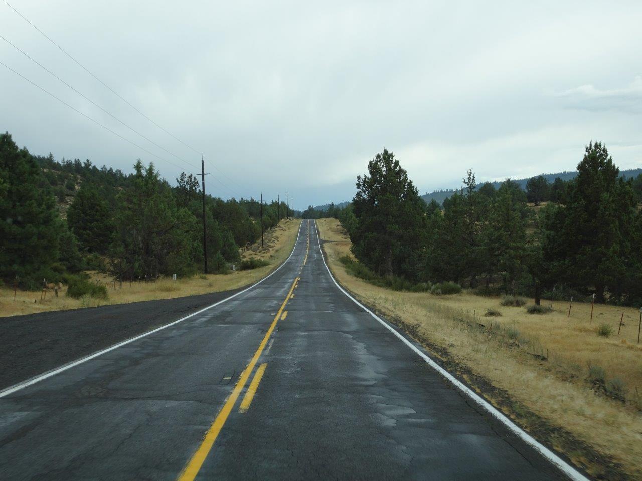
You can see the mountains in the distance, so the stuff in the sky was probably rain clouds and not smoke.  It rained during most of the last 100 miles of my drive, which was good.  And other than fire trucks, there was almost no traffic. 


Finally, Eagle Lake in the distance.  I'll post more pictures tomorrow of the campground, which is in a ponderosa pine forest at 5,100' in elevation.