Cape Perpetua is a very scenic area along the the Oregon Coastal Highway, with cliffs and crashing waves on the ocean side of the highway and high mountains on the opposite side of the road. It is just a couple of miles south of the small town of Yachats, Oregon, and not too far from Tillicum Beach. (Yachats, by the way, is pronounced "yah-hahts.") Cape Perpetua also refers to the very tall mountain where you can drive up a "day use" road to a parking area and overlook 800' above the ocean. It is a don't miss site, so don't miss it. The road is not as steep as you might think, so even I can drive my big motorhome up there comfortably. Good brakes are helpful coming down, however!
Just south of the road to the day-use overlook is another road that goes up to the visitor center. You can buy the usual souvenirs there, and also walk around to their large balcony overlook. Today, when I was there, I saw several whales spouting not too far from shore. Easy parking up there, as well.
Other places you might want to stop at that I bypassed were some seal caves and a spouting rock, plus several scenic view overlooks. And, at the base of the road to the day-use overlook, there is a place where you can walk out to some tide pools if you get there at low tide.
The entire coastal highway from northern California through Oregon to the Olympic Peninsula in Washington State is a fantastic drive, though you really need more than a couple of weeks to do it. The northern part of the drive should really be done as one trip and the part from San Francisco to San Diego in another trip, but both are really worthwhile and should be on people's bucket list.
A lot of the coastal highway, 101, looks like this with occasional bridges crossing the numerous streams that come out of the mountains and empty into the Pacific Ocean.

Because of the traffic today, there was no way I could get photos of the entrance to the Cape Perpetua Visitor Center, but this map was at the top. It shows a lot of the hiking trails and a few back roads through the Siuslaw National Forest.

A few views from the visitor center terrace. In the far distance, you can see a few rocks that contain some tide pools.

At about 11:00 o'clock in this photo, you can see the remnants of a whale's spouting.

You can also see a few people climbing over the rocks and looking in the pools in this closeup.

And a view slightly to the south.


If you turn right on the highway, you can turn right again on the road to the day-use area. A short drive takes you up to the 800' high overlook area. This is the actual mountain that akes up Cape Perpetua.


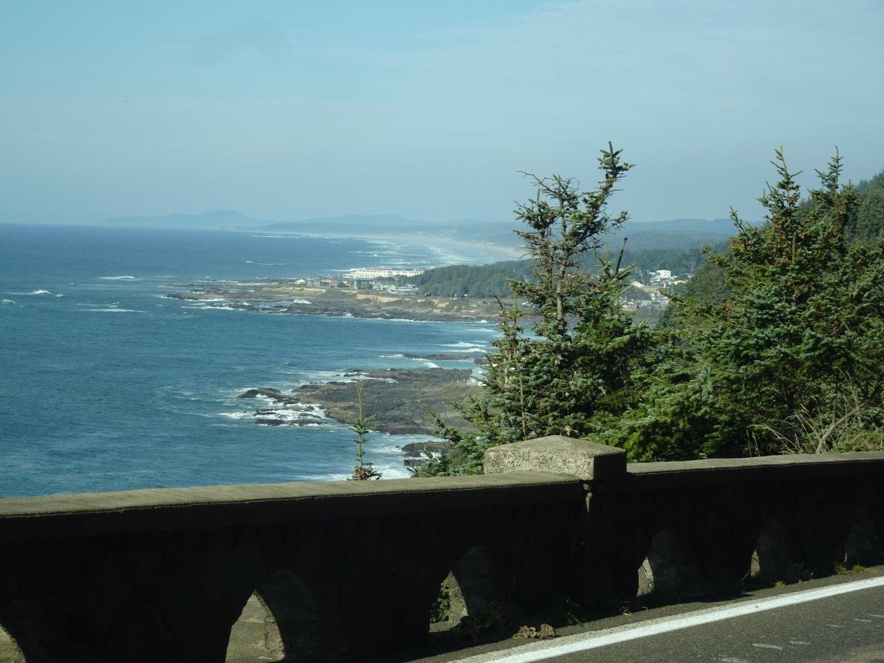
And a view to the south. It's a bit foggy, but you can see a long way down the coast. The dot in the middle is the visitor center I had just left.


And a view to the east across the coastal mountain range.

Back in the1930's, the Civilian Conservation Corps built the trails in the area and this study rock shelter at the tip of the peninsula.

The next two photos are very quickly taken views at the little town of Yachats in the distance.


No comments:
Post a Comment