This trip was a chance to check up on this area. I grew up in the 1950s playing in the area that has become Port Crescent State Park because we had a cottage just east of this campground from 1950 to 2000 when I sold it. I have lots of good memories of this area with my parents and extended family of aunts, uncles, and a lot of cousins. Those were the days when our parents packed us a lunch (or not, depending) and allowed us to go down the beach to walk in the woods and jump off the bank of the Pinnebog River.
In a lot of ways, the state park being developed ruined this area, and in other ways it saved it. While we had lots of fun here as kids, the few years before the land was acquired by the State of Michigan and turned it into a park ended up with people discovering this three miles of pristine beach and using it badly. People camped without sanitary facilities and also turned the sand dunes into a motorcycle track which destroyed parts of the dunes. It also made it less safe for kids to be playing here on their own.
I signed up for one of the very last sites available, which was a large handicap sites. Most of the sites in this state park are very small and impossible for my motorhome. I was happy this was available. Also, my son and grandkids joined me for a couple of days, so it was nice to have company.
The water levels of the Great Lakes have a habit of going up and down. In 2000, the levels were very low, but they have been back up again for the last couple of years. On this chart, the red line is the long-term annual level. A difference of 2' to 3' can mean problems in harbors getting boats out or swamped lakefront property. https://www.lre.usace.army.mil/Missions/Great-Lakes-Information/Great-Lakes-Information-2/Water-Level-Data/
Actually, the beach was looking pretty good. Also, the first couple of days, there was little wind, so the lake was abnormally calm and glassy.
Looking northeast along the shore.
And looking southwest along the shore.
We headed into Port Austin and walked along the breakwall.
View of the harbor area and "downtown" Port Austin.
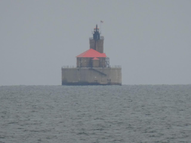
This was taken with my telephoto so it is a big fuzzy, but it shows the lighthouse which is two miles from shore.
Back to Port Crescent State Park and more views of the campground area. Also, took a beach walk. The photo below shows the old channel of the Pinnebog River. Sand was mined so much from the area southwest of here along the shore that the river cut through to the lake in the early 1900s. Over the decades, this part of the river has pretty much silted up.


