Back to finishing the postings about this campground, about 12 miles south of the town of Alamogordo, NM. I have been here a couple of times before and have enjoyed the desert and the views from the campground, but this time, it has been especially cold and windy, plus because it has been so dry here, almost none of the desert plants are in bloom. This has been a strange winter for all of New Mexico because of this drought and colder-than-usual winter.
This state park is located in the Chihuahuan desert on a slope up against the Sacramento Mountains, which run north and south for 85 miles and are 40 miles from east to west. To the east, about 15 miles away, you can just barely see the white gypsum sands of White Sands National Park. The state park and Alamogordo are about 4,500' in elevation, where the Sacramento Mountains are 8,000 to 10,000' in elevation, so you can quickly drive from dry and dusty desert to heavily wooded mountain scenery!
I have been to White Sands National Park at least three times in the past and have also driven into the mountains in the past, so with the dust storms and cold weather here, I skipped them this trip.
It is a four mile drive from the highway to the campground, which you can see as some tiny white dots on the beginnings of the slope of the mountains in this photo.


I arrived here just in time to get hooked up and filled with water just before this dust storm arrived and kept me indoors for the first couple of days of the two weeks I spent here.


Beautiful views up towards the mountains. The canyon that you see in this photo has a year-round small stream that provided water for the old ranch that used to be here.


If you look closely at this photo, you will see that the natural ridge at the top has been supplemented by a rck fence that kept cattle in specific areas of the ranch.

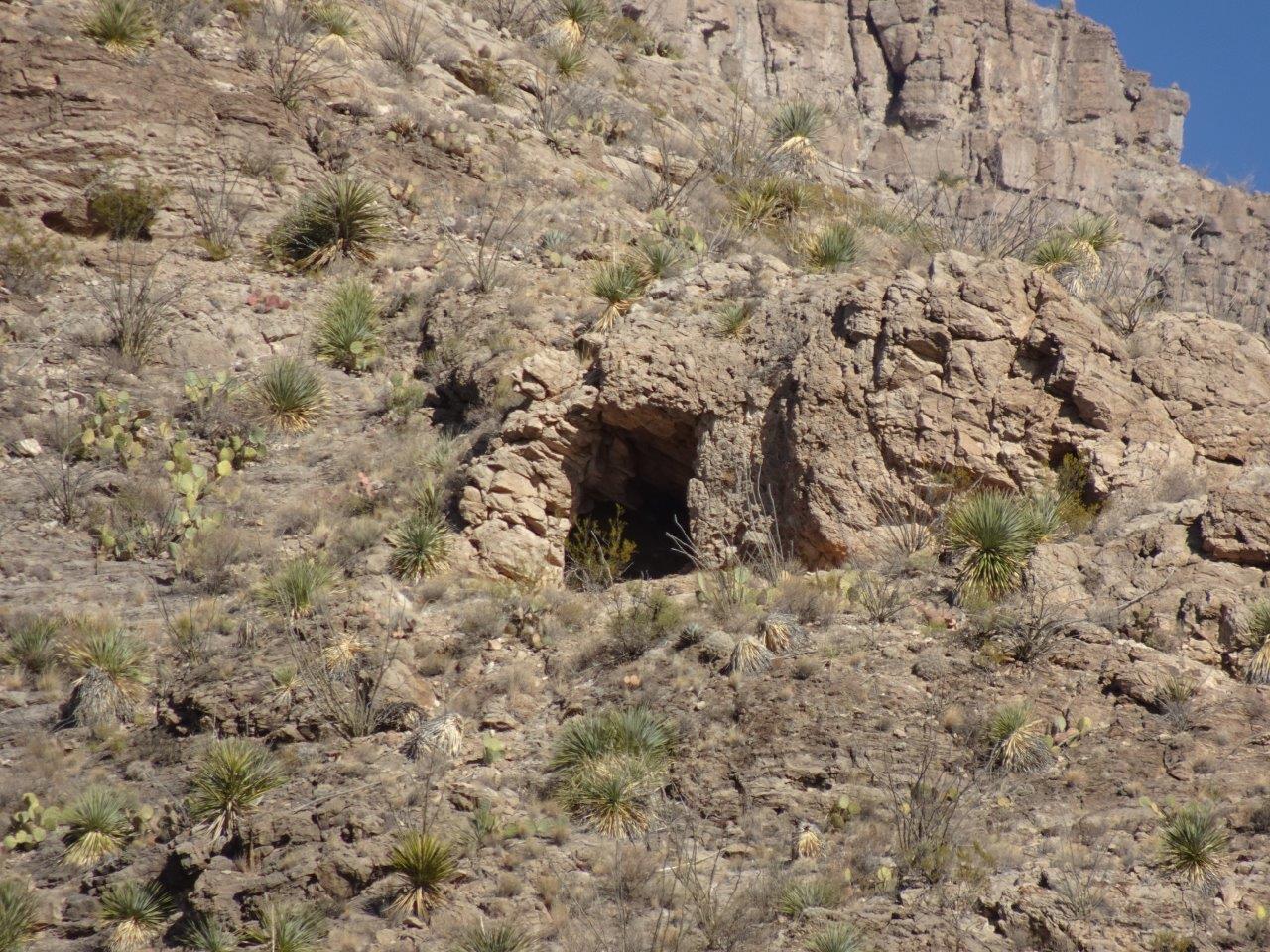
To the right of the visitor center is another mountain with the remnants of an old mine of some sort. Wish I were younger and in better shape so I could have walked up here, but it was a steep and strenuous trail.


A view looking southwest along the valley into another, more distant mountain range.


I have no idea what this plant is, but it was in bloom just before I left.

Not sure when or if I will be back here, but I did enjoy the last week when the weather was better, with no dust storms!
No comments:
Post a Comment