The town has a very pleasant park along the levee, where you can drive and park.
This sign tells a little about the history of the town.
And this one explains about the earthquake.
This is looking upriver.
Doesn't this boat launch ramp look a bit steep?
And this looks downriver.
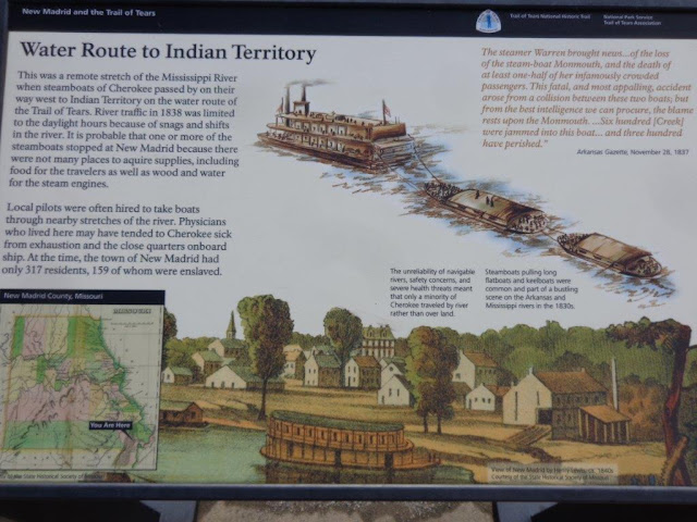
The Trail of Tears runs through this town, as well. The Trail of Tears is the route forced upon the Cherokee as they were forced from their homes in the southeast and sent to reservations in Oklahoma. This photo shows boats full of families, towing other boats full of families, being taken to new lands.
Another picture of this very pleasant park on the levee.
All along the river, you can see these "tows" waiting for a tug to take them up or down the Mississippi. I wonder what is under the covers. It might be cotton, since it looks like the fields have recently been picked in this area.
Luckily, the museum was open, so I was able to go in and take a few photos.


No comments:
Post a Comment