The engineer has a pretty good view. The biodiesel engine pushes the cars ahead of it and acts as a brake going back down. Each car is pushed by a separate engine.
The original engines were steam, powered by wood and finally coal, but there is only one left and it leaves before the others first thing in the morning. I tried to book a seat on it, but it was completely full for several days. Here is the water tower that refills the tank halfway up. This is also the place where down-bound trains wait for the up-bound trains to pass them.
And here is the steam engine on its way down.
It's a long way down, and we are only half-way up.
The tree line is low in this area because the mountain is so far north.
Almost to the top.
Each one of the three cars that left when mine did were completely full!
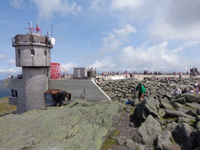
These are the observations stations at the top. Underneath them is the large visitor center.
The trains only stop here for an hour, and you are required to go down with your group, but if you drive up, you can spend a lot more time walking around and even hiking down if you are so inclined.
This is the Appalachian Trail, marked with cairns instead of signs because of the rocks.
Check out this sign. Can you believe winds of 231 MPH?
Lots of cell and radio towers up here. In fact, that is how you can identify Mount Washington from a distance.
Going down!
Had a long drive after this to Freeport, ME, so I was happy to get back on the road.


No comments:
Post a Comment